ENSO Blog
We’re sticking a fork in this El Niño and calling it done. After spending more than a year above average, sea surface temperatures in the central and eastern equatorial Pacific had mostly returned to near average by the end of May. Forecasters don’t think we’ll remain in neutral territory for long, though. There’s an approximately 65% chance that sea surface temperatures will drop into the La Niña realm (more than 0.5 degrees below normal) by the July – September period. This chance increases to around 75% by the fall.
I’ll get into what’s behind these numbers in a bit, but first, let’s bid a fond farewell to the big 2015-2016 El Niño.
The king is dead!
As we’ve reiterated many time…
Read article
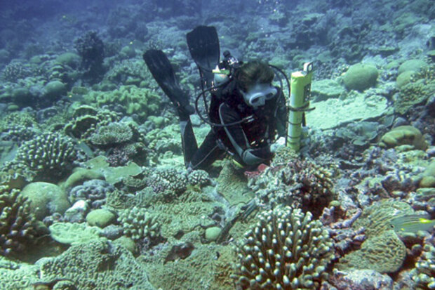
This is a guest post by Dr. Kim Cobb of the Georgia Institute of Technology. She runs a lab focused on paleoclimate (the study of past climates) and climate change whose mission is to uncover the mechanisms of global climate change, both natural and human-caused, in order to inform projections of future climate change. She has also been given a National Science Foundation CAREER award and a Presidential Early Career award for Scientists and Engineers. Her research also lets her travel to places like Borneo and the Line Islands in the Pacific, making us question whether we made correct choices in our professional careers. You can follow along with her lab’s exploits on twitter @coralsnc…
Read article
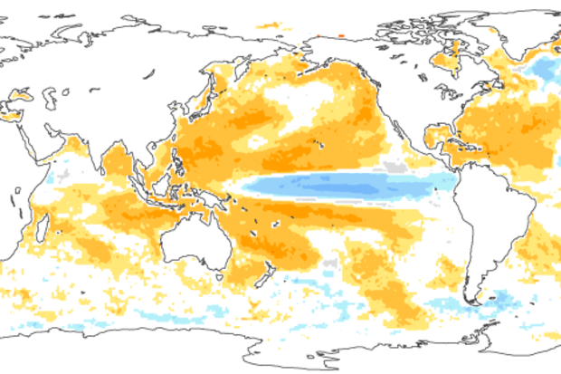
There’s a 75% chance that La Niña will be in place by the fall, meaning sea surface temperatures in the central Pacific at the equator will be more than 0.5°C below average. It’s possible the transition from El Niño to La Niña will be quick, with forecasters slightly favoring La Niña developing this summer. What’s behind this reasonably confident forecast?
Current conditions
Sea surface temperatures in the Nino3.4 region, our primary index for ENSO (El Niño/Southern Oscillation), have been cooling steadily since they peaked at 2.4°C (4.3°F) above average back in November. Recently, cooling has accelerated, and April was 1.2°C above average using ERSSTv4, our most historically consisten…
Read article
This is a guest post by Dr. Amy Butler (@DrAHButler) who is a research scientist at the University of Colorado Cooperative Institute for Research in Environmental Sciences (CIRES) and sits within the NOAA Chemical Sciences Division (CSD). Her research focuses on large-scale climate patterns and phenomenon, such as the Arctic and Antarctic Oscillations and sudden stratospheric warmings.
“’Polar vortex’ set to strike the U.S. as snowstorm death toll rises” (Slate). “Polar vortex transforms Mid-Atlantic to Mid-Antarctic” (Washington Post). “Economic impact of ‘polar vortex’ could reach $5B” (CBS News). These are all real headlines from 2014 and 2015, when the phrase “polar vortex…
Read article
It will soon be time to bid good-bye to the strong El Niño of 2015-2016. Forecasters anticipate that sea surface temperatures in the Niño3.4 region will drop below the El Niño threshold (0.5°C above the long-term average) in the late spring or early summer. After more than a year of El Niño conditions, what’s next?
First, though—what’s now?
The average anomaly (departure from average) in the Niño3.4 region during March still reflected a strong El Niño, at 1.6°C in the ERSSTv4 dataset. However, this was a substantial drop from February’s 2.0°C, which is what we’d expect during the demise of an El Niño.
The atmosphere was still responding to those warmer-than-average El Niño surfa…
Read article


