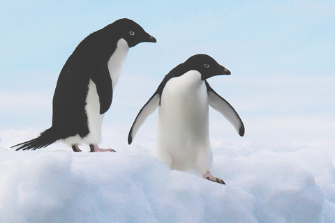
In the 2015 edition of the State of the Climate report, climate and biology experts wrote about some dramatic impacts of warming on life in the ocean.
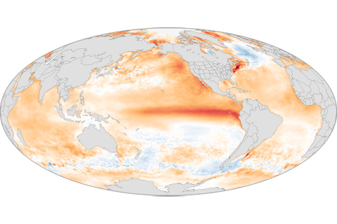
A record-smashing hurricane season in the central North Pacific. Water rationing in Puerto Rico. The biggest one-year jump in atmospheric carbon dioxide concentrations. These and more of 2015's extreme events had one thing in common: El Niño.
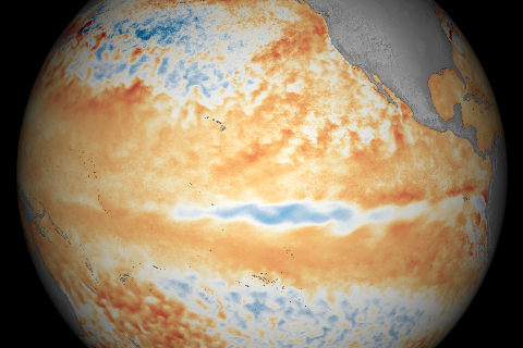
With El Niño in the rearview mirror, the central tropical Pacific continued to cool in June 2016.
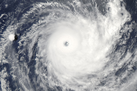
This year's Atlantic hurricane outlook comes with relatively high uncertainty. One challenge: figuring out if the Atlantic Ocean climate pattern that favors active hurricane seasons has shifted gears.
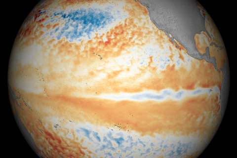
A deep pool of cool water that had been lurking beneath the surface of the eastern tropical Pacific in April began to emerge at the surface in May 2016.
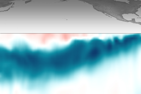
Beneath the surface of the tropical Pacific, a deep pool of cool water has been sliding slowly eastward. This massive, slow-motion wave is a favorable sign that La Niña might develop.
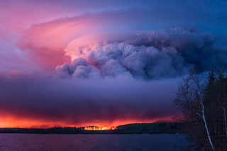
Climate connections to Fort McMurray fire
May 12, 2016
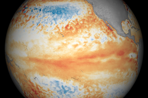
Compared to March, parts of the tropical Pacific showed signs of cooling off in April 2016.
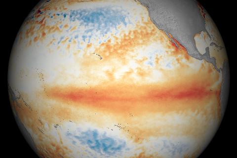
Temperatures across the tropical Pacific Ocean were warmer than average in March 2016.
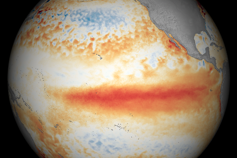
Waters along the equator in the Pacific Ocean were warmer than average during February 2016, but cooler than they were in January, according to satellite observations.