ENSO Blog
This is a guest post from Simon Wang, Utah Climate Center/Dept. Plants, Soils & Climate, Utah State University
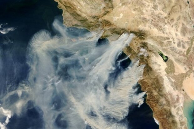
Scientists and natural resource managers are closely watching the potential development of El Niño as it might increase rainfall in California and bring relief to the severe drought there (see footnote 1). In the western United States, drought often brings a double punch: water shortfall plus wildfires. The West as a whole has experienced a relatively quiet fire season thus far, with fewer than 3 million acres burned between January 1-August 25 compared to the 10-year average of 5.4 million acres (see National Interagency Fire Center for more information). But California is w…
Read article
In our post last month, we introduced and defined several climate patterns other than ENSO that impact United States winter climate. But how useful are these climate patterns in predicting U.S. temperature and precipitation in winter and other seasons? How do they stack up against ENSO, for example?
Long-term Trends
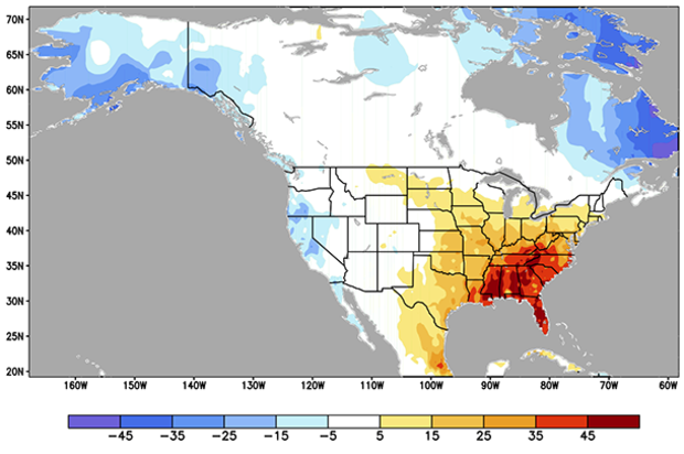
For all seasons combined, upward temperature trends have been observed across much of the U.S., especially in the northern and western regions (Fig. 1). The southeastern U.S. has had a slower warming trend (Livezey and Timofeyeva 2008).
Unlike the other climate patterns, this pattern of rising temperature is present in all seasons, not just winter, so it provides…
Read article
July was a rough month for the potential development of El Niño. Waiting for El Niño is starting to feel like Waiting for Godot. As Emily discussed in her post and as the CPC also described in the August 7th ENSO discussion, the trends were in the opposite direction of El Niño, particularly with respect to the ocean. Below-average temperatures emerged at the surface in the eastern equatorial Pacific and were widespread below the surface. The appearance of seemingly unfavorable conditions has led to some comparisons with 2012, when an emerging El Niño instead collapsed. Are we in 2012 territory again? Is this El Niño again a bust?
In 2…
Read article
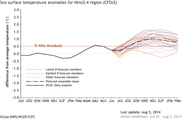
This month’s ENSO Diagnostic Discussion starts off with “the chance of El Niño has decreased to about 65% during the Northern Hemisphere fall and early winter.” The last few months, chances were estimated to be around 80% for El Niño to have formed by the fall/early winter. So, we’ve gone from an estimated 1-in-5 chance that we won’t have an El Niño to a nearly 1-in-3 chance. However, 65% is still almost twice the climatological likelihood – that is, the long-term average of how often we experience El Niño conditions – so forecasters are still predicting El Niño will develop.
So, why the decrease in the odds of El Niño?
Last month, we discussed how the atmosphere has yet to respo…
Read article
Reading back over the many excellent (if I do say so myself) posts here at the ENSO blog, there have been several re-occurring themes—the biggest of which is that ENSO is not just an ocean phenomena but an ocean-atmospheric interaction. ENSO is no one-man act. If the ocean is Abbott, then the atmosphere is Costello; the ocean…Laverne, the atmosphere…Shirley; the ocean…Kanye, the atmosphere…Kim. And just like there would be no “Kimye” without Kanye West and Kim Kardashian, there is no ENSO event without both an atmospheric and oceanic response.
We have previously touched on both aspects of this with a post on the importance of a sea surface temperature (SST) gradient in the equatorial trop…
Read article


