ENSO Blog
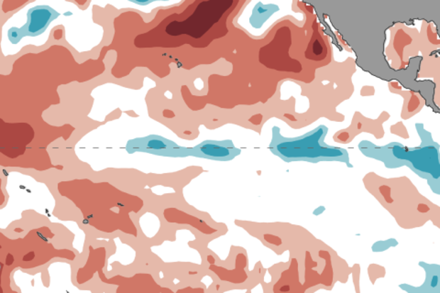
The September ENSO forecast is out!! (Can you tell I’m excited to be back on the top-of-the-month post?) Forecasters think there is an approximately 55-60% chance of La Niña this fall and winter, so we’re hoisting a La Niña Watch. Read on to find out what’s behind this development!
Summer summary
First, though, a quick recap of current conditions in the tropical Pacific Ocean. The sea surface temperature in our favorite Niño3.4 region in the central Pacific was about 0.1°C colder than the long-term average over June – August, smack-dab in the neutral range. The atmosphere also reflected neutral conditions during the summer, with the winds above the equatorial Pacific neither particular…
Read article
This is a guest post by Dr. Phil Klotzbach of the Colorado State University Department of Atmospheric Science. Dr. Klotzbach has been the lead author of CSU’s seasonal hurricane forecasts since 2006.
A large number of groups, including government agencies (see NOAA hurricane forecast), universities, and private sector companies, currently issue Atlantic basin seasonal hurricane forecasts. Dr. William Gray pioneered seasonal hurricane forecasts for the Atlantic in 1984, and our group at Colorado State University has issued predictions every year since that time.
Over 20 publicly available forecasts are displayed on a website that our group co-developed with the Barcelona Sup…
Read article
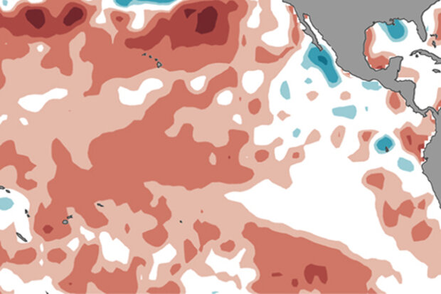
Now that it’s summer in the Northern Hemisphere, we’re more firmly on the other side of the infamous spring barrier. So, forecasters have growing confidence that this coming winter in the Northern Hemisphere will most likely be a continuation of “ENSO-Neutral,” and dominated by near average temperatures across the Pacific Ocean. The most recent forecast by CPC/IRI favors the continuation of these conditions through the winter 2017-18 (56% chance during December-February 2017-18).
ENSO-Neutral = El Niño or La Niña is not present
Following some weakly warm conditions last month, this past month was characterized by an impressive span of near-average sea surface temperatures over the trop…
Read article
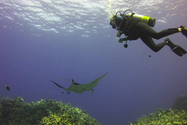
First things first—many thanks to our newest ENSO blogger, Nat Johnson, for covering the top-of-the-month post this month while I was scuba diving with manta rays.
This also frees me up to write a post I’ve been thinking about for a while: an entire post about dynamical climate models! Models are a critical tool for climate forecasters, but I haven’t had enough column inches to get into how they really work.
What’s a model? Not this kind…
If you say “model” to a weather or climate forecaster, she’ll immediately think of a computer program that takes in information on current conditions and outputs a picture of potential future conditions. Here, I’ll be talking about dynamica…
Read article
Editor’s Note: Welcome to Dr. Nat Johnson, our newest ENSO blogger! Nat is an associate research scholar who is affiliated with Princeton University and NOAA Geophysical Fluid Dynamics Laboratory. He has an extensive research record studying large-scale climate dynamics, with a special focus on predictability of subseasonal-to-seasonal timescales (hello ENSO!). We’re excited to have him on our team.
The latest ENSO forecast by CPC/IRI is holding steady since last month and favoring ENSO-neutral conditions (50-55% chance) into the winter of 2017-18. Although not favored, El Niño development has an elevated chance of occurring (~35-45%) relative to the lo…
Read article


