Valuable Water Vapor Dataset Turns 30 Years Old
Details
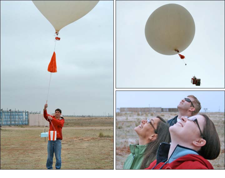
The day before Earth Day, a few dozen scientists, journalists, and members of the public gathered at the Marshall Field Site of the National Center for Atmospheric Research. They watched a six-foot diameter NOAA weather balloon carrying atmospheric instruments disappear into the clouds, during a celebration to commemorate 30 years of NOAA water vapor measurements in Boulder.
Researchers at NOAA’s Earth System Research Laboratory (ESRL) send balloon-borne instruments nearly 100,000 feet into the air twice a month, to collect data about the atmosphere—including climate-critical water vapor levels. ESRL’s Sam Oltmans began the water vapor measurement program in 1980. Over the years, he and his colleagues have worked to ensure that the water vapor data are precise, accurate, and comparable with those from previous years. Along the way, these data have helped solve some significant scientific disputes about the amounts of water vapor in various parts of the atmosphere, and they’ve uncovered patterns that remain puzzling today.
Water vapor is a greenhouse gas, so scientists are interested to know if its amount and distribution in the upper atmosphere are changing. ESRL’s Susan Solomon, who helped lead the Intergovernmental Panel on Climate Change effort that earned the 2007 Nobel Peace Prize, used the water vapor records plus satellite data to produce a recent paper linking changes in upper atmospheric water vapor levels to temperatures here at Earth’s surface. Read more about the commemorative event and how the water vapor measurement program began.
Related Links
More about water vapor measurements from ESRL’s Ozone & Water Vapor Group
