ENSO Blog
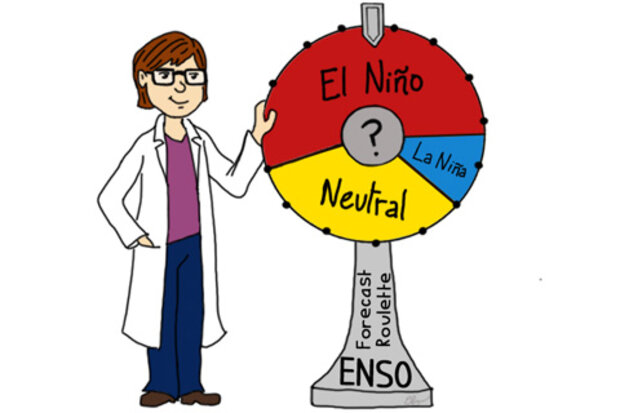
Pretend someone is willing to bet you $50 that El Niño will not occur. Before you jump at it, you might want to know what the chances of El Niño are, right? So you then look up your favorite model prediction and discover there is a 90% chance of El Niño. The odds are in your favor. You go for it and take the bet.
But something happens and you lose. El Niño doesn’t occur. Oh the horror! Does that mean the model is totally useless? After all it forecasted a 90% percent chance of an El Niño and it didn’t happen. You might think that means the model was awful and next time you may not trust your money with such a prediction.
These sorts of be…
Read article
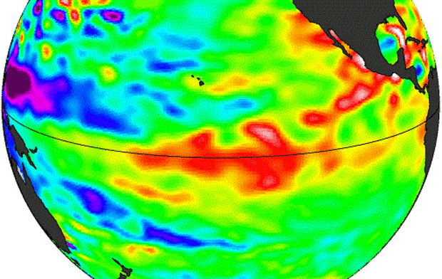
The CPC/IRI ENSO forecast has dropped the likelihood of El Niño again, to 58%, despite the presence of “borderline” El Niño conditions (i.e. warmer equatorial Pacific sea surface temperature, and some reduction in rain over Indonesia). El Niño is still expected, but with less confidence. What is it about this year that may be making it harder to forecast?
Many studies, using both long-term climate model simulations and observed data, have found that ENSO changes on decadal (10-year) or longer timescales. This low-frequency or interdecadal variability includes changes in ENSO strength (variance) and frequency (how often events re-occur).
In other words, in one decade, the pattern …
Read article
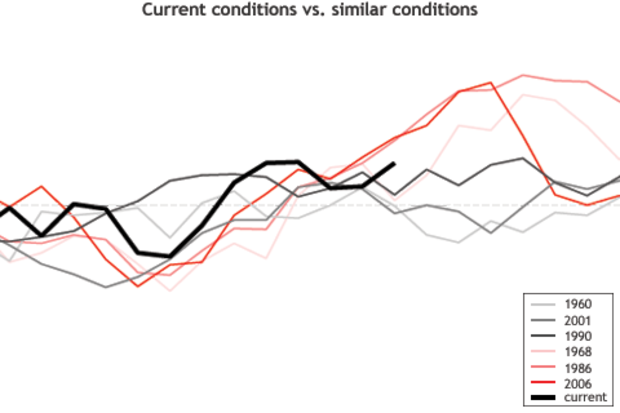
Lately, many of us are wondering if a 2014-15 El Niño is going to materialize, and if so, how strong it might become and how long it will last. It might cross some folks’ minds that the answer to these questions can be found by collecting past ENSO cases that are similar and see what happened. Such an approach is known as analog forecasting, and on some level it makes intuitive sense.
In this post, I’ll discuss why the analog approach to forecasting often delivers disappointing results. Basically, it doesn’t work well because there are usually very few, if any, past cases on record that mimic the current situation sufficiently closely. The scarcity of analogs is important because dissimil…
Read article
This is a guest post from Richard P Allan, who is a professor in the Department of Meteorology at the University of Reading/UK. He is a lead investigator of the DEEP-C project and tweets at @rpallanuk . This guest post reflects one interpretation of this expansive topic, which like all cutting-edge science, will be revised and updated as new observations and analysis arise.
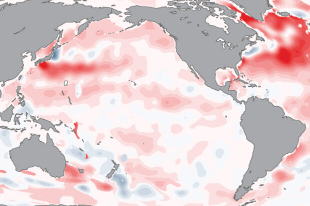
It is well known that the surface has warmed over the past few decades, primarily in response to rising concentrations of greenhouse gases. ENSO variability and other natural factors, have additionally contributed toward year-to-year fluctuations about this warming trend (dark red line in Figure 1). …
Read article
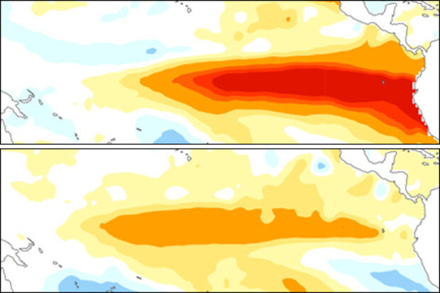
No, we’re not just talking about ice cream in this post (mmm…. yum), but about the different types, or flavors, of the El Niño-Southern Oscillation (ENSO). These different flavors of ENSO are usually based on the location where tropical Pacific sea surface temperature (SST) anomalies are the largest. There is debate on whether differences in the cold state of ENSO, La Niña, can be classified (1), so we’ll leave that alone for now and focus on the warm state, El Niño.
El Niño can take on a wide range of flavors, but here we show two examples of El Niño winters that are at opposite extremes:
(1) Eastern Pacific El Niño (a.k.a. Cold Tongue, Conventional, or Canonical El Niño):
(2) …
Read article
