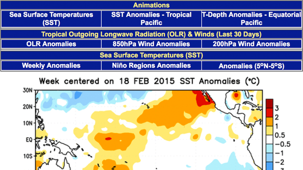
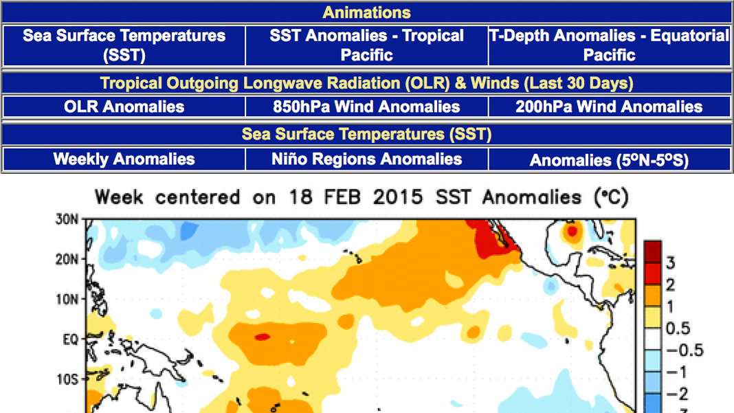
This webpage from NOAA's Climate Prediction Center provides current information related to the El Niño-Southern Oscillation (ENSO), including technical information for forecasting impacts in the United States.
For less-technical articles about ENSO, see Climate.gov's El Niño & La Niña (El Niño-Southern Oscillation) page, including the monthly ENSO Blog.
Where do these data come from?
Measurements of Sea Surface Temperature come from instruments on NOAA operational satellites, ships, buoys, and maps of sea ice. Wind and pressure information is from the Climate Data Assimilation System, a set of computer algorithms used to analyze observed air pressure patterns to understand conditions at various levels of the atmosphere. Discussions and weekly update presentations on the site are contributed by meteorologists.
-
What can I do with these data?
- Explore the factors involved in various phases of the El Niño-Southern Oscillation.
- Find information on past ENSO events
How do I use the site?
- Hover your cursor over image and animation titles to view them.
- Click title for additional views.
For the most recent information, see the Weekly ENSO Evolution, Status, and Prediction report
-
Data Format(s)PNG, Other
Access Type Link & Description Mapping Variety of map information plus discussions and presentations. -
Data TypeMarine / Ocean, SatelliteEssential Climate VariablesAir temperature, , ,
 Click to see more detail
